Clerkenwell, before 1827 to today
Sekforde Street, map by map
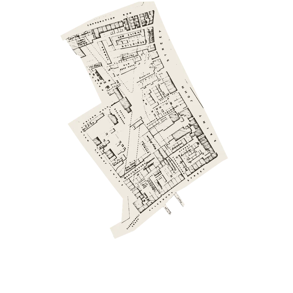
Plans of the streets round the bank, from before Sekforde Street was built to the present day, each fitted to the same frame. Drag the scale, or press Play: the streets stay put while the city changes underneath.
1×
Map 1
Before 1827
Before Sekforde Street
Before the new streets: alleys and yards, ‘Low Tenements’, a ‘Floor Cloth Factory’, an ‘Old Soap Work’ and buildings marked ‘Ruinous’. The proposed streets are dashed across them.